
Photorealistic elevations,
generated from the drawing.
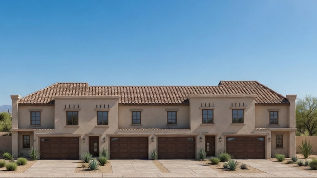
We produce the elevations for single-family homes, accessory dwellings, infill housing, and multifamily buildings as finished photographic images rather than line work — and the thing we are actually good at is accuracy. Each face is rendered from the drawn elevation of that face, so the image you hand a client, a lender, or a planning counter and the plans underneath it are never describing two different buildings. Developers and architects use these AI renderings for lender packages, planning submittals, and pre-sales marketing, produced in Costa Mesa, California and delivered nationwide.
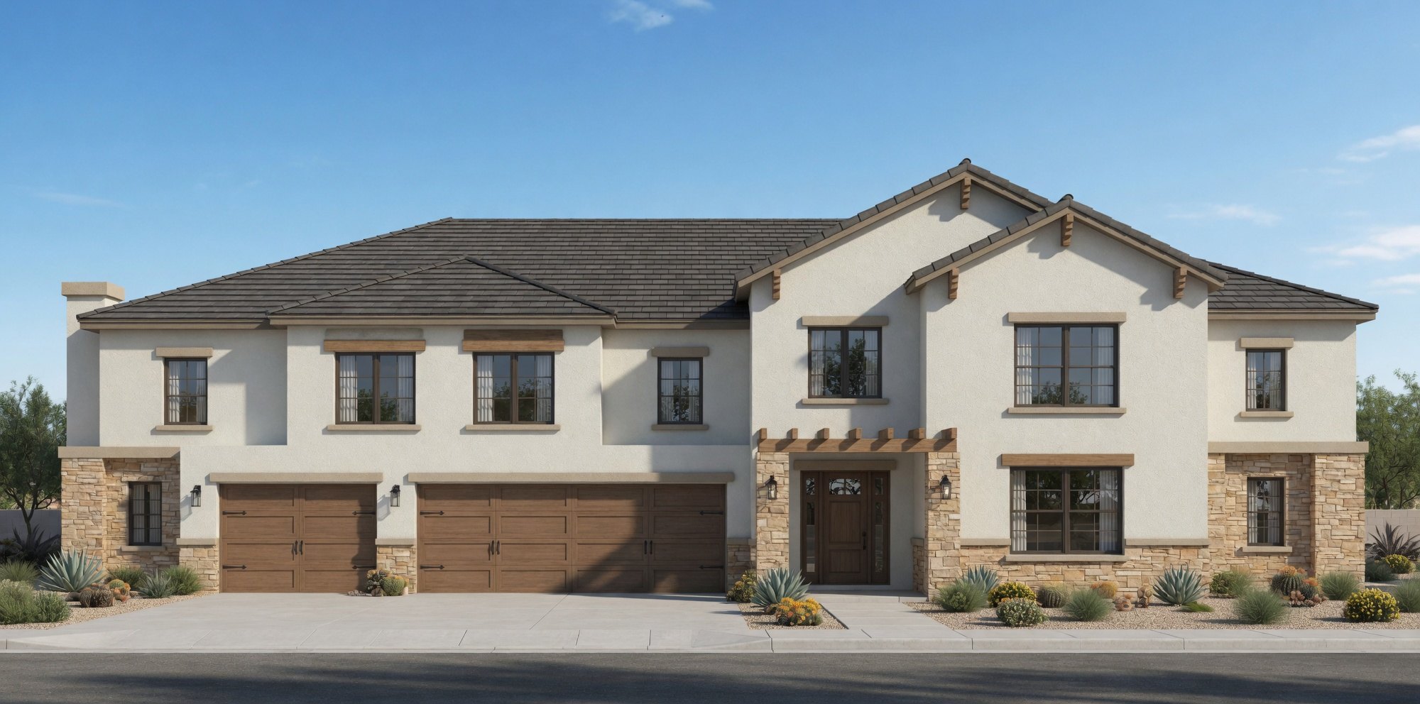
The same building, twice.
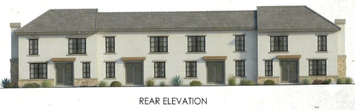
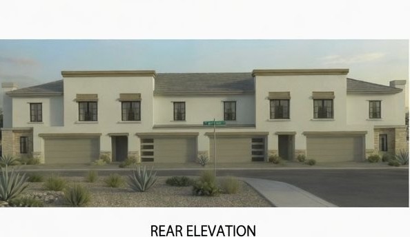
Here is a project start to finish: the elevation sheet we were sent, and the elevation sheet we returned. Openings, roof pitch, massing, and the position of every window hold.
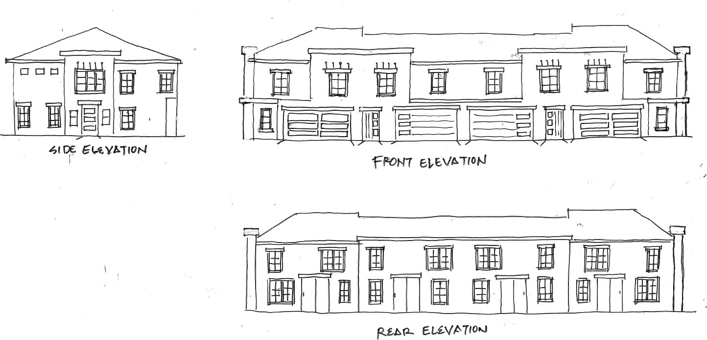
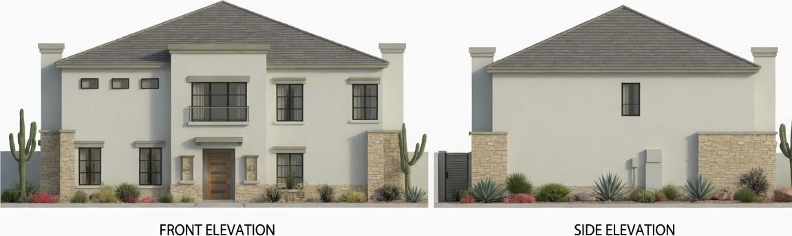
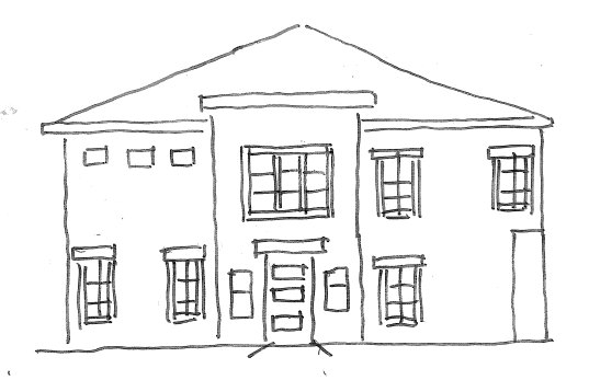
An output pack, not a hero shot.
Every face
Front, side, and rear elevations rendered as a matched set, in the same light and the same material palette, so the sheet reads as one building.
Orthographic or in situ
Flat elevations for the plan set and drawing sheets, plus contextual versions with landscape and sky for the brochure, the listing, or the council packet.
Print-ready files
High-resolution files sized for 24×36 sheets and web use, delivered with the source drawing referenced so anyone can check the image against the plan.
Send the drawing. Get the elevation back.
Send one elevation and we will return the rendered version of that face, so you can hold the image and the drawing side by side before committing to a full pack.